Understanding Aerial Photography Drone Cameras
Aerial photography has seen remarkable growth in popularity, primarily due to advancements in drone technology. These unmanned aerial vehicles (UAVs) equipped with high-resolution cameras have opened up new horizons for capturing stunning images and videos from above. Enabling artists, professionals, and hobbyists alike to explore the world of aerial photography, drone cameras have become indispensable tools in various fields. The right aerial photography drone camera can dramatically enhance your photography experience and the quality of the images you produce. In this comprehensive guide, we delve into the essentials of aerial photography, key features to consider, and more.
What is Aerial Photography?
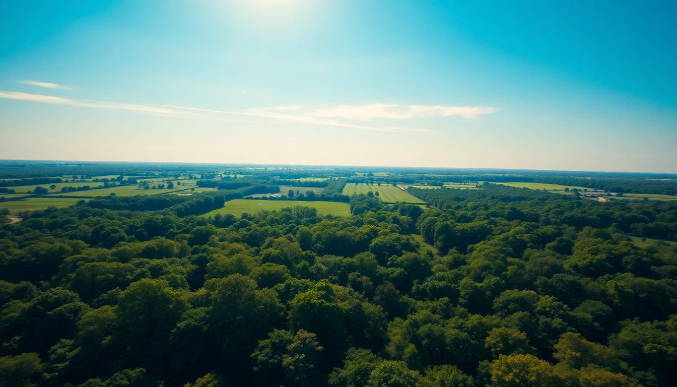
Aerial photography refers to the process of taking photographs from an elevated position, often using drones, helicopters, or other aircraft. This method allows photographers to capture sweeping landscapes, urban environments, and natural scenes that are typically challenging or impossible to frame from ground level. Aerial photography is not only a powerful artistic medium but also serves practical purposes across several industries, including real estate, agriculture, and environmental monitoring.
Key Features of Aerial Photography Drone Cameras
When selecting an aerial photography drone camera, understanding its key features is crucial. Here are some fundamental characteristics that define aerial photography drones:
- Camera Quality: The resolution, lens quality, and sensor size can significantly affect image clarity and detail.
- Stabilization Systems: Gimbal stabilization technologies minimize shakiness and ensure smooth video and sharp images.
- Flight Time: Battery life determines how long a drone can stay airborne, directly impacting your shooting time.
- Range: The operational range influences how far a drone can fly from its controller while maintaining connectivity.
- Obstacle Avoidance: Advanced drones come equipped with sensors to help avoid collisions, making them safer for operation.
- GPS Integration: GPS allows for precise navigation, GPS waypoint flying, and geotagging images.
Benefits of Aerial Photography in Various Fields
Aerial photography offers unique benefits across a variety of sectors, enhancing workflow and innovation in many forms:
- Real Estate: Real estate agents use aerial shots to showcase properties from novel angles, enhancing their appeal and reach.
- Agriculture: Aerial imagery helps farmers monitor crop health, assess irrigation needs, and estimate yields.
- Construction: Construction managers employ aerial images for site monitoring, progress tracking, and logistical planning.
- Environmental Monitoring: Drones facilitate the mapping of ecosystems, wildlife habitats, and land-use changes over time.
- Tourism and Marketing: Captivating aerial videos and photos can attract tourists, positively impacting the economy.
Choosing the Right Aerial Photography Drone Camera
Selecting the right drone camera for aerial photography can be a daunting task, given the vast array of options available. However, keeping a few essential specs in mind will ensure you make an informed choice. Let’s break down the factors to consider when choosing your drone camera.
Essential Specs to Look For
Here are the critical specifications you should prioritize:
- Megapixels: The higher the megapixel count, the more detail your images can capture. Aim for at least 12 MP for good-quality aerial shots.
- Camera Sensor: Look for larger sensors (e.g., 1-inch sensors) as they generally produce better low-light performance and dynamic range.
- Lens Options: Some cameras allow for interchangeable lenses, which can increase photographic versatility.
- Video Capabilities: Check for 4K recording capability if videos are a part of your aerial photography plan; 60 fps (frames per second) is ideal for smooth motion.
- Storage Capacity: Ensure your drone supports high-capacity storage options and fast write speeds to handle large image files without lag.
Top Brands and Models
Several brands have established themselves as leaders in the aerial photography drone market. Some reputable models include:
- DJI Mavic 3: Known for its incredible camera capabilities with a 4/3 CMOS sensor and impressive flight time.
- Autel Robotics EVO Lite+: Offers a well-rounded feature set, including 50 MP photos and 6K video capabilities.
- Parrot Anafi: Appeals to travel photographers with its light weight and 4K HDR video support.
- Skydio 2: Renowned for its AI-based obstacle avoidance and tracking capabilities, especially useful in dynamic environments.
- DJI Phantom 4 Pro: A favorite among professionals for its vast array of features and customization options.
Budget Considerations for Aerial Photography
Determining your budget can narrow down your choices significantly. Aerial photography drones vary greatly in price:
- Entry-Level Drones: Priced between $300 to $600, these models are suitable for beginners looking to explore photography with drones.
- Mid-Range Options: Ranging from $700 to $1,500, these drones usually include robust features and good camera quality.
- Professional Drones: Expect to invest $1,500 and up for high-end drones that offer exceptional performance and features aimed at professional photographers.
- Accessories: Remember to budget for additional costs, such as spare batteries, memory cards, and carrying cases.
Techniques for Stunning Aerial Photography
Once you’ve chosen the right drone, mastering aerial photography techniques will enhance your abilities and the aesthetic quality of your images. Here are some methods and tips to produce stunning drone photography.
Composition Tips for Drone Photography
Effective composition can make or break your aerial photos. Here’s how to enhance composition:
- Rule of Thirds: Position key elements off-center to create a more engaging image. Use grid lines in your camera settings to assist with framing.
- Leading Lines: Use roads, rivers, or other natural lines to draw viewers’ eyes into the scene, creating depth and movement.
- Perspective: Experiment with different angles and heights to find unique perspectives that make your photos stand out.
- Framing: Use natural elements, such as trees or mountains, to frame your subject and add depth to your photograph.
- Simplicity: Strive for balance by avoiding clutter in your composition, focusing on your main subject.
Lighting and Timing for Optimal Results
Lighting plays a vital role in photography. The right conditions can dramatically enhance the quality of your aerial images. Here’s how to get it right:
- Golden Hour: The hour after sunrise and before sunset provides soft, diffused light that is less harsh than midday sun.
- Overcast Days: Cloud cover diffuses sunlight, reducing shadows and allowing colors to pop.
- Weather Conditions: Pay attention to weather forecasts. Drones often perform better in calm conditions; windy or rainy days may lead to poor results.
Post-Processing Methods to Enhance Images
Post-processing is a critical step in aerial photography that can significantly elevate your images. Here are several techniques to consider:
- Color Correction: Adjusting the brightness, contrast, and saturation can make your images more vivid.
- Crop and Straighten: Always check for horizon levels and undesirable elements you may want to remove from the frame.
- Sharpening: Slight sharpening can enhance the details in your aerial images, but be cautious not to overdo it.
- Filters: Utilizing filtering techniques such as Graduated Neutral Density Filters in post can help balance exposure in very bright areas against darker parts of the image.
Common Challenges in Aerial Photography
While aerial photography offers exciting opportunities, it presents its own set of challenges. Being prepared for these hurdles is essential for successful photography.
Dealing with Weather Conditions
Weather can significantly impact aerial photography. Here are tips for navigating these challenges:
- Wind: High winds can destabilize a drone, affecting your shots. Always check local wind conditions before flying.
- Rain and Snow: Moisture can damage electronics. Consider using waterproof drones or wait for conditions to improve.
- Fog: While fog can create a mystical atmosphere, it can also reduce visibility. Evaluate conditions before flying.
Understanding No-Fly Zones and Regulations
Aerial photography is heavily regulated, and understanding these laws is crucial for safe operation. Common regulations include:
- Altitude Limits: Most nations have strict altitude regulations above which flying a drone is prohibited.
- No-Fly Zones: Recognize areas where drone flights are restricted — such as near airports, military bases, or densely populated areas.
- Licensing and Registration: Some jurisdictions require you to register your drone or obtain a license to fly commercially.
Troubleshooting Common Drone Issues
Familiarize yourself with common issues and their solutions to maintain smooth operations:
- Signal Loss: If you lose your signal, don’t panic. Many drones have a ‘return to home’ feature to guide themselves back.
- Battery Life: Always monitor battery levels closely. Consider carrying a spare battery for longer sessions.
- Camera Malfunctions: Test your camera settings before takeoff to ensure you’re fully prepared.
Future Trends in Aerial Photography
The field of aerial photography is continually evolving, and staying abreast of emerging trends can help you remain competitive and innovative.
Advancements in Drone Technology
New technology is consistently changing the landscape of aerial photography drones. Key advancements include:
- Improved Battery Life: Future drones promise longer flight times through enhanced battery technology.
- AI Integration: Drones with artificial intelligence can enhance obstacle avoidance and autonomous flight.
- Multispectral Imaging: This allows for capturing specific wavelengths of light, benefiting industries like agriculture.
Innovative Applications Across Industries
Aerial photography applications continue to broaden thanks to technological advancements:
- Surveying and Mapping: Drones equipped with specialized cameras can create detailed topographical maps quickly and accurately.
- Search and Rescue: Drones can assist emergency responders by providing real-time aerial views of disaster sites.
- Insurance Assessments: Aerial imagery allows insurers to assess damage more effectively after natural disasters.
Potential Impact of AI on Aerial Photography
As AI technology evolves, its impact on aerial photography is profound:
- Automated Editing: AI can automate post-processing tasks, making editing quicker and more efficient.
- Smart Flight Path Planning: AI can analyze the environment and suggest optimal flight paths for capturing the best images.
- Enhanced Object Detection: AI can continuously analyze real-time imagery to detect subjects and improve focus.